
Boundary surveys
Beacon search, re-establishment, and deed plans for sale, subdivision, and disputes. We compare the registry index with what is actually on the ground.

Licensed surveyors · Nairobi
Deed plans, topographical surveys, and construction setting-out for landowners, architects, and developers across Nairobi and the counties around it.
Each instruction starts with the title and the registry map, then the ground. The plan is what a buyer, an architect, or Ardhi House can use.
Beacon search, re-establishment, and deed plans for sale, subdivision, and disputes. We compare the registry index with what is actually on the ground.

Contours, spot heights, buildings, trees, and visible services, drawn so an architect or engineer can design before anyone breaks ground.

Setting-out of grids, levels, and site boundaries, then as-built checks while the structure is still in the ground.

Cadastral overlays, subdivision layouts, sectional plans, and map layers a planner or county office can read without a second translation.
We open the deed and the registry map first. A mark that is not there is recorded as a search, not assumed to be a new corner.

Walls, fences, roads, and buildings are picked up with the beacons, so the plan shows both the record and the way the plot is used.
Coordinates, areas, and abuttals are checked before the plan leaves the office. We stay with the file if the registry asks for a correction.
Most Nairobi parcels are fielded within a week of a clear instruction. The time after that is computation, checking, and the drawing.
Title number, registry map, and what the plan must do: sale, dispute, design, or construction.
Control, observations, and a record of beacons, occupation, and anything that blocks the line.
The traverse is closed and compared with the deed before anyone is told a corner has moved.
A drawing, a short report, and support when the plan is lodged or handed to the design team.
A sample of the last year’s commissions. Names of private clients stay off the page. The places do not.

Three missing beacons on a 12-acre parcel, tied back to the deed and the adjoining titles.
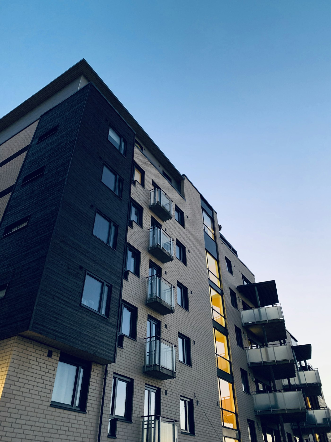
Floor areas and common property for a residential block, prepared for registration.

Grid and level control for a commercial frame, with as-built checks at each slab.

Testimonial
The beacons on our Kilimani site did not match the deed. Riftline opened the boundary, set the control, and the sectional plan went in without a second trip to Ardhi House.
A straightforward Nairobi parcel is often fielded within a week of instruction, once the title and the registry map are in hand. Computation and the plan follow the fieldwork. A dispute, a missing control, or a large acreage takes longer, and we say so before we book the crew.
The title number or a copy of the title, where the plot is, and what the survey is for. Photographs of existing beacons help. If an architect already has a sketch, send that too.
Yes. Most instructions are in Nairobi, Kiambu, Kajiado, and Machakos. We also take work in Nakuru and Murang'a when the control and access are clear.
Yes. We search for the original marks, measure the occupation, and re-establish only what the deed and the adjoining surveys support. We do not move a boundary to suit a fence.

Send the location and the title number if you have it. A surveyor calls back the same weekday.
We use the phone number you left. If the title is already in hand, have it nearby when we ring.